
Thank you for supporting this site ❤️
Make a donation
Make a donation
Gear up for your next adventure:
As an Amazon Associate, this site earns from qualifying purchases at no extra cost to you.
Belzele topographic map
Click on the map to display elevation.
Thank you for supporting this site ❤️
Make a donation
Make a donation
Gear up for your next adventure:
As an Amazon Associate, this site earns from qualifying purchases at no extra cost to you.
About this map
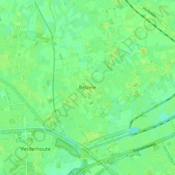
Name: Belzele topographic map, elevation, terrain.
Location: Belzele, Evergem, Gent, East Flanders, Flanders, 9950, Belgium (51.08171 3.64016 51.12171 3.68016)
Average elevation: 20 ft
Minimum elevation: 0 ft
Maximum elevation: 30 ft
Thank you for supporting this site ❤️
Make a donation
Make a donation
Gear up for your next adventure:
As an Amazon Associate, this site earns from qualifying purchases at no extra cost to you.