
Poder de Dios (San Mateo) topographic map
Interactive map
Click on the map to display elevation.
About this map
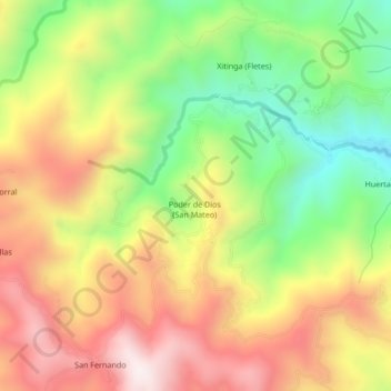
Name: Poder de Dios (San Mateo) topographic map, elevation, terrain.
Location: Poder de Dios (San Mateo), Tetipac, Guerrero, 40371, México (18.62639 -99.76694 18.66639 -99.72694)
Average elevation: 7,569 ft
Minimum elevation: 6,365 ft
Maximum elevation: 8,783 ft
Other topographic maps
Click on a map to view its topography, its elevation and its terrain.