
Make a donation
Gear up for your next adventure:
As an Amazon Associate, this site earns from qualifying purchases at no extra cost to you.
Mobile Bay topographic map
Click on the map to display elevation.
Make a donation
Gear up for your next adventure:
As an Amazon Associate, this site earns from qualifying purchases at no extra cost to you.
About this map
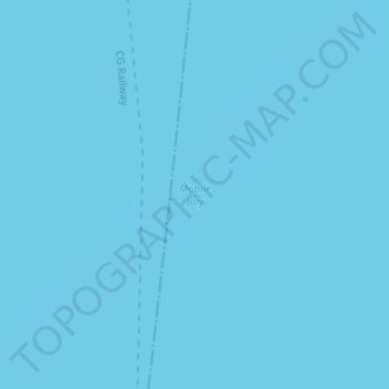
Name: Mobile Bay topographic map, elevation, terrain.
Location: Mobile Bay, Mobile County, Alabama, United States (30.44265 -88.00921 30.44275 -88.00911)
Average elevation: 0 ft
Minimum elevation: 0 ft
Maximum elevation: 0 ft
Make a donation
Gear up for your next adventure:
As an Amazon Associate, this site earns from qualifying purchases at no extra cost to you.
Other topographic maps
Click on a map to view its topography, its elevation and its terrain.
Mobile
United States > Alabama > Mobile County
According to the United States Census Bureau, the city has a total area of 180.1 square miles (466 km2), with 139.5 square miles (361 km2) of it being land, and 40.6 square miles (105.2 km2), or 22.5% of the total, being covered by water. The elevation in Mobile ranges from 10 feet (3 m) on Water Street in…
Average elevation: 52 ft
Semmes
United States > Alabama > Mobile County
Semmes is located in west-central Mobile County at 30°46′40″N 88°15′32″W / 30.77778°N 88.25889°W / 30.77778; -88.25889. The elevation is 244 feet (74 m) above sea level. It is 11 miles (18 km) west of Prichard and 15 miles (24 km) northwest of downtown Mobile. U.S. Route 98 (Moffett Road)…
Average elevation: 194 ft
Make a donation
Gear up for your next adventure:
As an Amazon Associate, this site earns from qualifying purchases at no extra cost to you.
Chunchula
United States > Alabama > Mobile County
Chunchula is located in northern Mobile County at 30°55′19″N 88°12′02″W / 30.92185°N 88.20055°W / 30.92185; -88.20055 and has an elevation of 121 feet (37 m). U.S. Route 45 passes through the community, leading south 20 miles (32 km) to Mobile and north 12 miles (19 km) to Citronelle.
Average elevation: 128 ft
Make a donation
Gear up for your next adventure:
As an Amazon Associate, this site earns from qualifying purchases at no extra cost to you.
Mobile
United States > Alabama > Mobile County
According to the United States Census Bureau, the city has a total area of 180.1 square miles (466 km2), with 139.5 square miles (361 km2) of it being land, and 40.6 square miles (105.2 km2), or 22.5% of the total, being covered by water. The elevation in Mobile ranges from 10 feet (3 m) on Water Street in…
Average elevation: 52 ft
Make a donation
Gear up for your next adventure:
As an Amazon Associate, this site earns from qualifying purchases at no extra cost to you.
Mobile
United States > Alabama > Mobile County
According to the United States Census Bureau, the city has a total area of 180.07 square miles (466.4 km2), with 139.48 square miles (361.3 km2) of it being land, and 40.59 square miles (105.1 km2), or 22.5% of the total, being covered by water. The elevation in Mobile ranges from 10 feet (3 m) on Water Street…
Average elevation: 52 ft
Make a donation
Gear up for your next adventure:
As an Amazon Associate, this site earns from qualifying purchases at no extra cost to you.
Make a donation
Gear up for your next adventure:
As an Amazon Associate, this site earns from qualifying purchases at no extra cost to you.