
Vernon topographic map
Click on the map to display elevation.
About this map
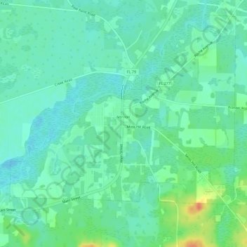
Name: Vernon topographic map, elevation, terrain.
Location: Vernon, Washington County, Florida, United States (30.60041 -85.73783 30.64281 -85.68206)
Average elevation: 52 ft
Minimum elevation: 13 ft
Maximum elevation: 157 ft
Washington County trails, hiking, mountain biking, running and outdoor activities
Other topographic maps
Click on a map to view its topography, its elevation and its terrain.