Geolocate

Navan topographic map

Click on the map to display elevation.

About this map

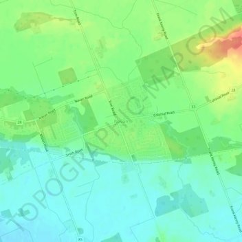
Name: Navan topographic map, elevation, terrain.

Location: Navan, Ottawa, Eastern Ontario, Ontario, K4B 1N2, Canada (45.40111 -75.44595 45.44111 -75.40595)

Average elevation: 266 ft

Minimum elevation: 207 ft

Maximum elevation: 384 ft

Other topographic maps

Click on a map to view its topography, its elevation and its terrain.

Osgoode

Canada > Ontario > Ottawa

Average elevation: 299 ft

Gear up for your next adventure:

🧢Sun Protection Hats - Wide-brimmed and UPF-rated hats for high-altitude sun safety
🛡️Bear Spray Outdoor - Protection in bear country hikes
🥤Water Filter Bottle - All‑in‑one filter bottle for safe hydration
🎒Trekking Poles - Sturdy poles for balance and stability on rough terrain
🧭Hiking Compass - Precision compass for reliable navigation in the wilderness

As an Amazon Associate, this site earns from qualifying purchases at no extra cost to you.