Geolocate

Pohari topographic map

Click on the map to display elevation.

About this map

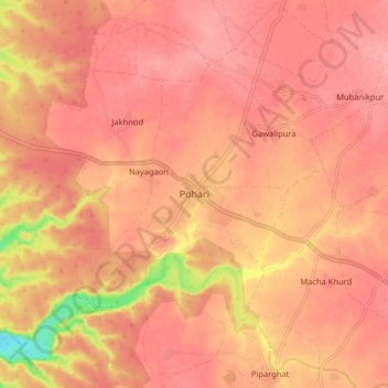
Name: Pohari topographic map, elevation, terrain.

Location: Pohari, Pohri Tahsil, Shivpuri, Madhya Pradesh, 473775, India (25.50019 77.32414 25.58019 77.40414)

Average elevation: 1,404 ft

Minimum elevation: 1,165 ft

Maximum elevation: 1,476 ft

Gear up for your next adventure:

🛰️Satellite Messengers - Emergency SOS and two-way messaging for off-grid adventures
🧺Microfiber Travel Towels - Compact and fast-drying towels for trail use
Solar GPS Watches - Advanced multisport watches with built-in topographic maps
🔌Solar Panel Charger - Charge gear sustainably outdoors
🥤Water Filter Bottle - All‑in‑one filter bottle for safe hydration

As an Amazon Associate, this site earns from qualifying purchases at no extra cost to you.