
Grimbiémont topographic map
Interactive map
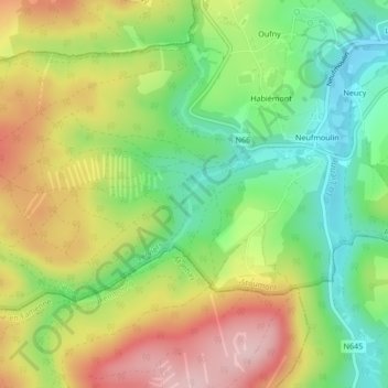
Click on the map to display elevation.
About this map
Name: Grimbiémont topographic map, elevation, terrain.
Location: Grimbiémont, Stoumont, Verviers, Liège, Wallonie, 4987, Belgique (50.35467 5.69897 50.37467 5.71897)
Average elevation: 1,132 ft
Minimum elevation: 814 ft
Maximum elevation: 1,526 ft
Other topographic maps
Click on a map to view its topography, its elevation and its terrain.