
Glacier topographic map
Click on the map to display elevation.
Glacier
Glacier is a census-designated place in the North Fork Nooksack River Valley, at an elevation of 906 ft., just 10 miles northwest of the Mount Baker Summit towering nearly 10,000 ft above it, in Whatcom County, Washington, United States. The population was 300 at the 2020 census.
About this map
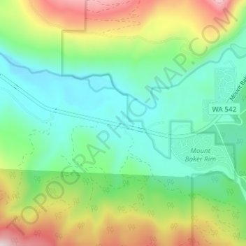
Name: Glacier topographic map, elevation, terrain.
Location: Glacier, Whatcom County, Washington, United States (48.87014 -121.96558 48.91014 -121.92558)
Average elevation: 1,427 ft
Minimum elevation: 768 ft
Maximum elevation: 2,848 ft