Geolocate

Ripon topographic map

Click on the map to display elevation.

About this map

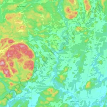
Name: Ripon topographic map, elevation, terrain.

Location: Ripon, Papineau, Outaouais, Quebec, Canada (45.71522 -75.22216 45.86420 -75.03424)

Average elevation: 715 ft

Minimum elevation: 463 ft

Maximum elevation: 1,480 ft

Gear up for your next adventure:

🪶Trail Camera - Capture wildlife on your hikes
🔥Camping Stove - Portable stove for camping and backcountry cooking
🌎3D Topographic Globes - Raised relief globes for a tactile understanding of geography
🚪Portable Camp Chair - Foldable chair for comfort at camp
👓Polarized Sunglasses - Outdoor sunglasses for glare reduction

As an Amazon Associate, this site earns from qualifying purchases at no extra cost to you.