
Thank you for supporting this site ❤️
Make a donation
Make a donation
Gear up for your next adventure:
As an Amazon Associate, this site earns from qualifying purchases at no extra cost to you.
Sedburgh topographic map
Click on the map to display elevation.
Thank you for supporting this site ❤️
Make a donation
Make a donation
Gear up for your next adventure:
As an Amazon Associate, this site earns from qualifying purchases at no extra cost to you.
About this map
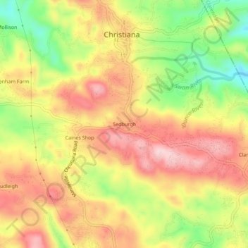
Name: Sedburgh topographic map, elevation, terrain.
Location: Sedburgh, Christiana, Manchester, Middlesex County, Jamaica (18.14041 -77.51163 18.18041 -77.47163)
Average elevation: 2,631 ft
Minimum elevation: 2,159 ft
Maximum elevation: 2,999 ft
Thank you for supporting this site ❤️
Make a donation
Make a donation
Gear up for your next adventure:
As an Amazon Associate, this site earns from qualifying purchases at no extra cost to you.