Geolocate

Marengo topographic map

Click on the map to display elevation.

About this map

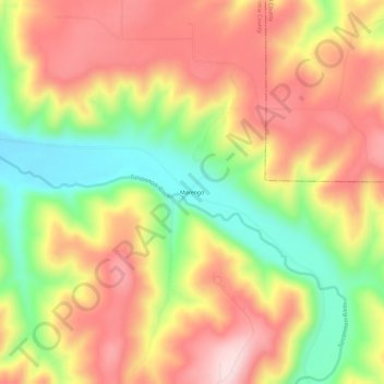
Name: Marengo topographic map, elevation, terrain.

Location: Marengo, Columbia County, Washington, United States (46.42066 -117.76834 46.46066 -117.72834)

Average elevation: 1,946 ft

Minimum elevation: 1,391 ft

Maximum elevation: 2,418 ft

Columbia County trails, hiking, mountain biking, running and outdoor activities

Other topographic maps

Click on a map to view its topography, its elevation and its terrain.

Starbuck

United States > Washington > Columbia County

Average elevation: 843 ft

Dayton

United States > Washington > Columbia County

Average elevation: 1,814 ft

Gear up for your next adventure:

😴Insulated Sleeping Pads - Compact and warm pads for high-elevation camping
🌧️Backpack Rain Cover - Keep gear dry in wet weather
🥾Men's Hiking Boots - Durable, waterproof footwear for rugged terrain and steep inclines
📚USA Hiking Guide Books - Top trail guides and map books
🧼Biodegradable Camping Soap - Eco‑friendly soap for outdoor hygiene

As an Amazon Associate, this site earns from qualifying purchases at no extra cost to you.