
Cascade topographic map
Click on the map to display elevation.
About this map
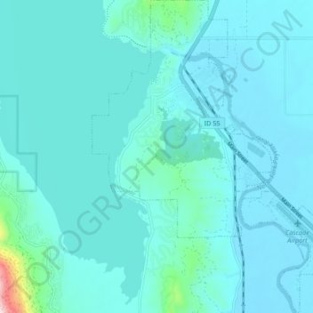
Name: Cascade topographic map, elevation, terrain.
Location: Cascade, Valley County, Idaho, United States (44.47588 -116.06970 44.53504 -116.00304)
Average elevation: 4,849 ft
Minimum elevation: 4,715 ft
Maximum elevation: 6,220 ft
Valley County trails, hiking, mountain biking, running and outdoor activities
Other topographic maps
Click on a map to view its topography, its elevation and its terrain.