Geolocate

Saguramo topographic map

Click on the map to display elevation.

About this map

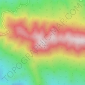
Name: Saguramo topographic map, elevation, terrain.

Location: Saguramo, Mtskheta Municipality, Mtskheta-Mtianeti, Georgia (41.86818 44.78553 41.86828 44.78563)

Average elevation: 3,573 ft

Minimum elevation: 2,671 ft

Maximum elevation: 4,472 ft

Other topographic maps

Click on a map to view its topography, its elevation and its terrain.

Gear up for your next adventure:

📶Vehicle Signal Boosters - Improve reception in rural areas while driving to trailheads
🧭Hiking Compass - Precision compass for reliable navigation in the wilderness
🧤Tactile Hiking Gloves - Keep hands warm while operating GPS and smartphone screens
🛡️Bear Spray Outdoor - Protection in bear country hikes
🥾Hiking Shoes - Durable and comfortable shoes for trail hiking

As an Amazon Associate, this site earns from qualifying purchases at no extra cost to you.