Geolocate

Evan topographic map

Click on the map to display elevation.

About this map

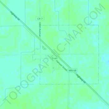
Name: Evan topographic map, elevation, terrain.

Location: Evan, Brown County, Minnesota, United States (44.34759 -94.84863 44.36230 -94.82568)

Average elevation: 1,027 ft

Minimum elevation: 1,014 ft

Maximum elevation: 1,037 ft

Brown County trails, hiking, mountain biking, running and outdoor activities

Gear up for your next adventure:

🥩Freeze-Dried Meals - Nutritious and lightweight food for remote expeditions
🪑Portable Camp Table - Compact table for campsite meals
🔥Plasma Lighters - Windproof lighters that work in any weather condition
🗻Climbing Gear Basics - Essential gear for beginner climbers
🧤Tactile Hiking Gloves - Keep hands warm while operating GPS and smartphone screens

As an Amazon Associate, this site earns from qualifying purchases at no extra cost to you.