
铁布镇 topographic map
Interactive map
Click on the map to display elevation.
About this map
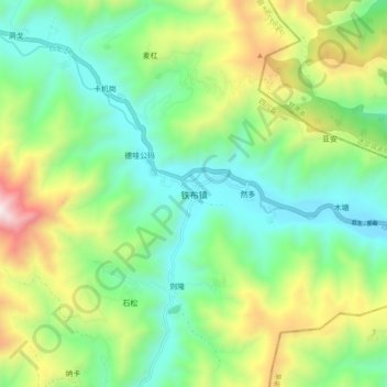
Name: 铁布镇 topographic map, elevation, terrain.
Location: 铁布镇, 若尔盖县, 阿坝藏族羌族自治州, 四川省, 624500, 中国 (34.05768 103.06603 34.13768 103.14603)
Average elevation: 9,403 ft
Minimum elevation: 7,963 ft
Maximum elevation: 12,457 ft
Other topographic maps
Click on a map to view its topography, its elevation and its terrain.