
Thank you for supporting this site ❤️
Make a donation
Make a donation
Gear up for your next adventure:
As an Amazon Associate, this site earns from qualifying purchases at no extra cost to you.
Casa topographic map
Click on the map to display elevation.
Thank you for supporting this site ❤️
Make a donation
Make a donation
Gear up for your next adventure:
As an Amazon Associate, this site earns from qualifying purchases at no extra cost to you.
About this map
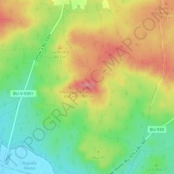
Name: Casa topographic map, elevation, terrain.
Location: Casa, Zazuar, Burgos, Castilla y León, 09491, España (41.66135 -3.55247 41.66145 -3.55237)
Average elevation: 2,815 ft
Minimum elevation: 2,667 ft
Maximum elevation: 2,976 ft
Thank you for supporting this site ❤️
Make a donation
Make a donation
Gear up for your next adventure:
As an Amazon Associate, this site earns from qualifying purchases at no extra cost to you.