Geolocate

Lock Two topographic map

Click on the map to display elevation.

About this map

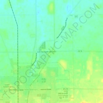
Name: Lock Two topographic map, elevation, terrain.

Location: Lock Two, Auglaize County, Ohio, 45869, United States (40.43171 -84.38912 40.47171 -84.34912)

Average elevation: 935 ft

Minimum elevation: 902 ft

Maximum elevation: 981 ft

Auglaize County trails, hiking, mountain biking, running and outdoor activities

Other topographic maps

Click on a map to view its topography, its elevation and its terrain.

Waynesfield

United States > Ohio > Auglaize County

Average elevation: 1,063 ft

Uniopolis

United States > Ohio > Auglaize County

Average elevation: 938 ft

Buckland

United States > Ohio > Auglaize County

Average elevation: 850 ft

Minster

United States > Ohio > Auglaize County

Average elevation: 968 ft

New Knoxville

United States > Ohio > Auglaize County

Average elevation: 906 ft

Cridersville

United States > Ohio > Auglaize County

Average elevation: 892 ft

Saint Marys

United States > Ohio > Auglaize County

Average elevation: 876 ft

Gear up for your next adventure:

🪶Fire Starter Kit - Reliable fire starter for survival and camping
🛠️Outdoor Gear Repair Kit - Essential tools to fix gear on the trail
💧Water Purification System - Clean water on the trail with reliable purifiers
🔋Rechargeable Batteries - Power up your outdoor devices
🔦Compact Flashlight - Reliable flashlight for emergencies

As an Amazon Associate, this site earns from qualifying purchases at no extra cost to you.