
Thank you for supporting this site ❤️
Make a donation
Make a donation
Gear up for your next adventure:
As an Amazon Associate, this site earns from qualifying purchases at no extra cost to you.
王甲村 topographic map
Click on the map to display elevation.
Thank you for supporting this site ❤️
Make a donation
Make a donation
Gear up for your next adventure:
As an Amazon Associate, this site earns from qualifying purchases at no extra cost to you.
About this map
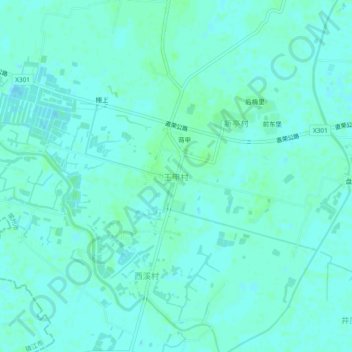
Name: 王甲村 topographic map, elevation, terrain.
Location: 王甲村, Changzhou, Jiangsu, 213000, China (31.82826 119.43438 31.86826 119.47438)
Average elevation: 20 ft
Minimum elevation: 10 ft
Maximum elevation: 33 ft
Thank you for supporting this site ❤️
Make a donation
Make a donation
Gear up for your next adventure:
As an Amazon Associate, this site earns from qualifying purchases at no extra cost to you.