
Thank you for supporting this site ❤️
Make a donation
Make a donation
Gear up for your next adventure:
As an Amazon Associate, this site earns from qualifying purchases at no extra cost to you.
Pudupatti topographic map
Click on the map to display elevation.
Thank you for supporting this site ❤️
Make a donation
Make a donation
Gear up for your next adventure:
As an Amazon Associate, this site earns from qualifying purchases at no extra cost to you.
About this map
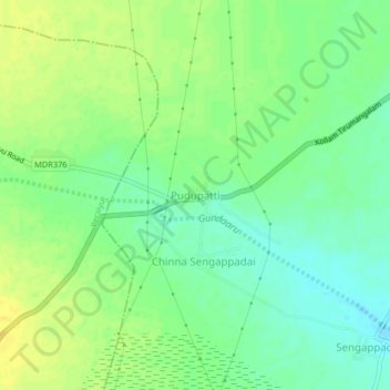
Name: Pudupatti topographic map, elevation, terrain.
Location: Pudupatti, Thirumangalam, Madurai District, Tamil Nadu, India (9.75692 77.90026 9.79692 77.94026)
Average elevation: 436 ft
Minimum elevation: 400 ft
Maximum elevation: 472 ft
Thank you for supporting this site ❤️
Make a donation
Make a donation
Gear up for your next adventure:
As an Amazon Associate, this site earns from qualifying purchases at no extra cost to you.