
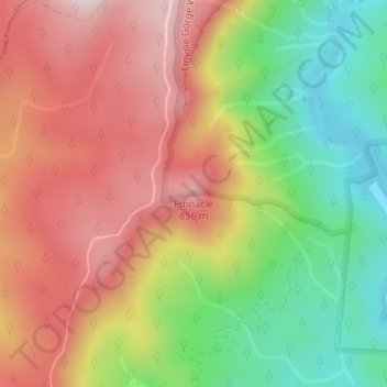
Pinnacle topographic map
Click on the map to display elevation.
About this map
Name: Pinnacle topographic map, elevation, terrain.
Location: Pinnacle, Burke County, North Carolina, United States (35.82313 -81.92655 35.82323 -81.92645)
Average elevation: 2,152 ft
Minimum elevation: 1,312 ft
Maximum elevation: 2,936 ft
Burke County trails, hiking, mountain biking, running and outdoor activities
Other topographic maps
Click on a map to view its topography, its elevation and its terrain.