Geolocate

Corliss topographic map

Click on the map to display elevation.

About this map

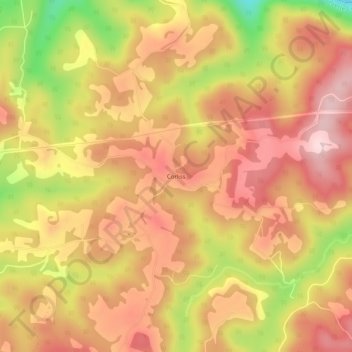
Name: Corliss topographic map, elevation, terrain.

Location: Corliss, Fayette County, West Virginia, United States (38.01428 -80.89009 38.05428 -80.85009)

Average elevation: 2,661 ft

Minimum elevation: 2,047 ft

Maximum elevation: 3,015 ft

Fayette County trails, hiking, mountain biking, running and outdoor activities

Other topographic maps

Click on a map to view its topography, its elevation and its terrain.

Ansted

United States > West Virginia > Fayette County

Average elevation: 1,572 ft

Powellton

United States > West Virginia > Fayette County

Average elevation: 1,552 ft

Smithers

United States > West Virginia > Fayette County

Average elevation: 1,119 ft

Pax

United States > West Virginia > Fayette County

Average elevation: 1,821 ft

Montgomery

United States > West Virginia > Fayette County

Average elevation: 1,106 ft

Gear up for your next adventure:

🚗GPS Dash Cams - Record your scenic drives through mountain passes and canyons
🗺️NatGeo Topo Maps - High-quality waterproof printed topographic maps of US Parks
🪶Camping Sleeping Pad - Comfortable sleeping pad for backpacking
🔭Compact Binoculars - HD vision for scouting terrain and identifying distant landmarks
Backpacking Tents - Weight-optimized shelters for multi-day topographic surveys

As an Amazon Associate, this site earns from qualifying purchases at no extra cost to you.