Geolocate

Ketsch topographic map

Click on the map to display elevation.

About this map

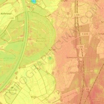
Name: Ketsch topographic map, elevation, terrain.

Location: Ketsch, Rhein-Neckar-Kreis, Baden-Württemberg, 68775, Germany (49.33672 8.49200 49.39559 8.56025)

Average elevation: 322 ft

Minimum elevation: 217 ft

Maximum elevation: 358 ft

Gear up for your next adventure:

🎒Trail Energy Bars - High‑calorie bars for hiking energy
🥩Freeze-Dried Meals - Nutritious and lightweight food for remote expeditions
🧭Map Reading Tools - Tools and kits for map navigation
🎒Hydration Pack - Hands‑free water reservoir for long hikes
🪵Folding Camp Saw - Compact saw for wood and campsite work

As an Amazon Associate, this site earns from qualifying purchases at no extra cost to you.