
Thank you for supporting this site ❤️
Make a donation
Make a donation
Gear up for your next adventure:
As an Amazon Associate, this site earns from qualifying purchases at no extra cost to you.
Ocotlán topographic map
Click on the map to display elevation.
Thank you for supporting this site ❤️
Make a donation
Make a donation
Gear up for your next adventure:
As an Amazon Associate, this site earns from qualifying purchases at no extra cost to you.
About this map
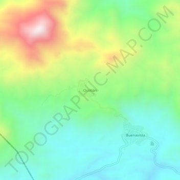
Name: Ocotlán topographic map, elevation, terrain.
Location: Ocotlán, San Juan Cacahuatepec, Oaxaca, México (16.62556 -98.22306 16.66556 -98.18306)
Average elevation: 1,955 ft
Minimum elevation: 1,076 ft
Maximum elevation: 3,694 ft
Thank you for supporting this site ❤️
Make a donation
Make a donation
Gear up for your next adventure:
As an Amazon Associate, this site earns from qualifying purchases at no extra cost to you.