
Iyospa topographic map
Interactive map
Click on the map to display elevation.
About this map
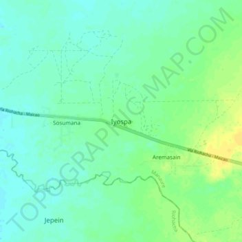
Name: Iyospa topographic map, elevation, terrain.
Location: Iyospa, Manaure, La Guajira, RAP Caribe, Colombia (11.46143 -72.76859 11.54143 -72.68859)
Average elevation: 75 ft
Minimum elevation: 52 ft
Maximum elevation: 115 ft
Other topographic maps
Click on a map to view its topography, its elevation and its terrain.
Puipuren
Colombia > La Guajira > Manaure
Puipuren, Manaure, La Guajira, RAP Caribe, Colombia
Average elevation: 49 ft