
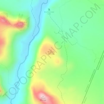
Mudzimu Noiringe topographic map
Interactive map
Click on the map to display elevation.
About this map
Name: Mudzimu Noiringe topographic map, elevation, terrain.
Location: Mudzimu Noiringe, Goromonzi, Mashonaland East, Zimbabwe (-17.53649 31.30128 -17.53639 31.30138)
Average elevation: 4,124 ft
Minimum elevation: 3,766 ft
Maximum elevation: 4,770 ft
Other topographic maps
Click on a map to view its topography, its elevation and its terrain.