Geolocate

Banbasa topographic map

Click on the map to display elevation.

About this map

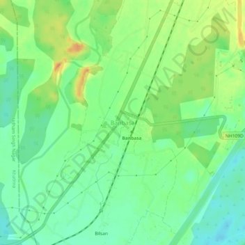
Name: Banbasa topographic map, elevation, terrain.

Location: Banbasa, Purnagiri, Champawat, Uttarakhand, 262310, India (28.97399 80.05226 29.01399 80.09226)

Average elevation: 741 ft

Minimum elevation: 682 ft

Maximum elevation: 830 ft

Gear up for your next adventure:

🎒Trekking Poles - Sturdy poles for balance and stability on rough terrain
📻Weather Alert Radios - Stay informed of storm risks while off-the-grid
🔭Compact Binoculars - HD vision for scouting terrain and identifying distant landmarks
🪑Portable Camp Table - Compact table for campsite meals
🌲Outdoor Survival Books - Best books on survival skills

As an Amazon Associate, this site earns from qualifying purchases at no extra cost to you.