
灵山 topographic map
Interactive map
Click on the map to display elevation.
About this map
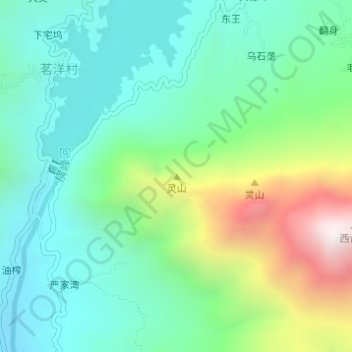
Name: 灵山 topographic map, elevation, terrain.
Location: 灵山, 广信区, 上饶市, 江西省, 中国 (28.57894 117.74658 28.57904 117.74668)
Average elevation: 1,555 ft
Minimum elevation: 459 ft
Maximum elevation: 4,331 ft
Other topographic maps
Click on a map to view its topography, its elevation and its terrain.