
Heisting topographic map
Click on the map to display elevation.
About this map
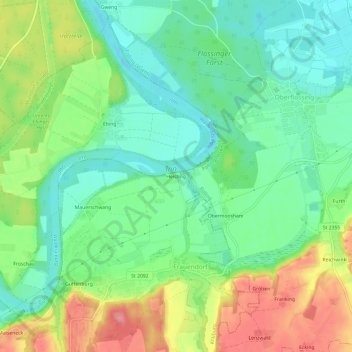
Name: Heisting topographic map, elevation, terrain.
Average elevation: 1,352 ft
Minimum elevation: 1,237 ft
Maximum elevation: 1,545 ft
Other topographic maps
Click on a map to view its topography, its elevation and its terrain.
Schloss Guttenburg
Deutschland > Bayern > Landkreis Mühldorf am Inn > Kraiburg > Frauendorf
Average elevation: 1,401 ft