
Thank you for supporting this site ❤️
Make a donation
Make a donation
Gear up for your next adventure:
As an Amazon Associate, this site earns from qualifying purchases at no extra cost to you.
`Alb topographic map
Click on the map to display elevation.
Thank you for supporting this site ❤️
Make a donation
Make a donation
Gear up for your next adventure:
As an Amazon Associate, this site earns from qualifying purchases at no extra cost to you.
About this map
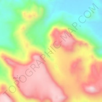
Name: `Alb topographic map, elevation, terrain.
Location: `Alb, Baqim district, Sa'dah Governorate, Yemen (17.48328 43.49995 17.48338 43.50005)
Average elevation: 7,776 ft
Minimum elevation: 7,093 ft
Maximum elevation: 8,350 ft
Thank you for supporting this site ❤️
Make a donation
Make a donation
Gear up for your next adventure:
As an Amazon Associate, this site earns from qualifying purchases at no extra cost to you.