
Thank you for supporting this site ❤️
Make a donation
Make a donation
Gear up for your next adventure:
As an Amazon Associate, this site earns from qualifying purchases at no extra cost to you.
Jabal Qalat Alma topographic map
Click on the map to display elevation.
Thank you for supporting this site ❤️
Make a donation
Make a donation
Gear up for your next adventure:
As an Amazon Associate, this site earns from qualifying purchases at no extra cost to you.
About this map
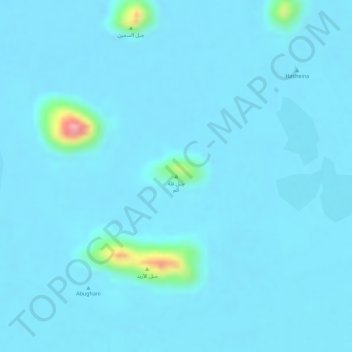
Name: Jabal Qalat Alma topographic map, elevation, terrain.
Location: Jabal Qalat Alma, Kassala, Sudan (15.72515 35.40695 15.72525 35.40705)
Average elevation: 1,424 ft
Minimum elevation: 1,391 ft
Maximum elevation: 1,867 ft
Thank you for supporting this site ❤️
Make a donation
Make a donation
Gear up for your next adventure:
As an Amazon Associate, this site earns from qualifying purchases at no extra cost to you.