
Thank you for supporting this site ❤️
Make a donation
Make a donation
Gear up for your next adventure:
As an Amazon Associate, this site earns from qualifying purchases at no extra cost to you.
Carlsbourg topographic map
Click on the map to display elevation.
Thank you for supporting this site ❤️
Make a donation
Make a donation
Gear up for your next adventure:
As an Amazon Associate, this site earns from qualifying purchases at no extra cost to you.
About this map
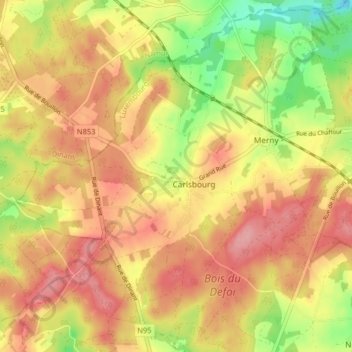
Name: Carlsbourg topographic map, elevation, terrain.
Location: Carlsbourg, Paliseul, Neufchâteau, Luxemburg, Wallonië, België (49.86995 5.04232 49.92184 5.11923)
Average elevation: 1,352 ft
Minimum elevation: 1,132 ft
Maximum elevation: 1,506 ft
Thank you for supporting this site ❤️
Make a donation
Make a donation
Gear up for your next adventure:
As an Amazon Associate, this site earns from qualifying purchases at no extra cost to you.