
Koduru topographic map
Click on the map to display elevation.
About this map
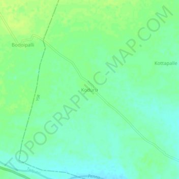
Name: Koduru topographic map, elevation, terrain.
Location: Koduru, Kondapuram, YSR, Andhra Pradesh, India (14.85378 78.08510 14.89378 78.12510)
Average elevation: 722 ft
Minimum elevation: 699 ft
Maximum elevation: 741 ft