
Sangay topographic map
Click on the map to display elevation.
Sangay
Sangay is one of two active volcanoes in the Sangay National Park, the other being Tungurahua to the north. As such it has been listed as a UNESCO World Heritage Site since 1983. The area's isolation has allowed it to maintain a pristine ecology relatively untouched by human interaction, and the park hosts a biome ranging from alpine glaciers on the volcanoes' peaks to tropical forest on their flanks. Altitude and rainfall are the most significant local factors affecting fauna, and therefore the lushest ecosystems are found on the wetter parts of the volcano's eastern slope.
About this map
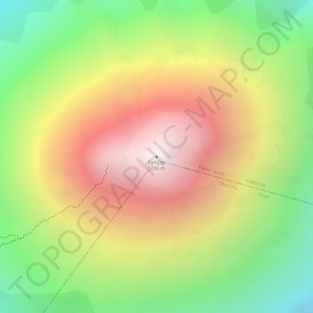
Name: Sangay topographic map, elevation, terrain.
Location: Sangay, Pablo VI, Pablo Sexto, Morona Santiago, Ecuador (-2.00499 -78.34173 -2.00489 -78.34163)
Average elevation: 15,125 ft
Minimum elevation: 12,779 ft
Maximum elevation: 17,365 ft