Geolocate

Magnolia topographic map

Click on the map to display elevation.

About this map

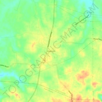
Name: Magnolia topographic map, elevation, terrain.

Location: Magnolia, Larue County, Kentucky, 42757, United States (37.42395 -85.76357 37.46395 -85.72357)

Average elevation: 840 ft

Minimum elevation: 768 ft

Maximum elevation: 906 ft

Larue County trails, hiking, mountain biking, running and outdoor activities

Gear up for your next adventure:

🌎3D Topographic Globes - Raised relief globes for a tactile understanding of geography
🧯Emergency Survival Kit - All‑in‑one survival essentials for the backcountry
🍳Camping Cook Set - Complete cookware for outdoor meals
💧Water Purification System - Clean water on the trail with reliable purifiers
🕶️GPS Smartphone Mount - Secure mount for phone navigation

As an Amazon Associate, this site earns from qualifying purchases at no extra cost to you.