
Ben Lomand Mountain topographic map
Interactive map
Click on the map to display elevation.
About this map
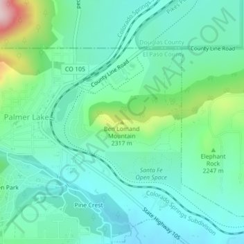
Name: Ben Lomand Mountain topographic map, elevation, terrain.
Average elevation: 7,283 ft
Minimum elevation: 7,031 ft
Maximum elevation: 8,133 ft
El Paso County trails, hiking, mountain biking, running and outdoor activities