
Moon Valley topographic map
Click on the map to display elevation.
About this map
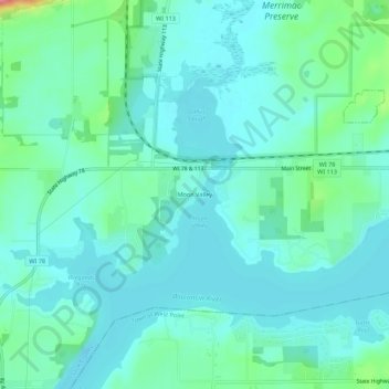
Name: Moon Valley topographic map, elevation, terrain.
Average elevation: 817 ft
Minimum elevation: 758 ft
Maximum elevation: 1,056 ft
Sauk County trails, hiking, mountain biking, running and outdoor activities
Other topographic maps
Click on a map to view its topography, its elevation and its terrain.
Spirit Lake
United States > Wisconsin > Sauk County
Devils Lake State Park offers 29 miles of hiking trails that vary based on difficulty level, length, and terrain. Among the 17 established trails, the most popular is the tumbled rocks trail. It sits at the edge of the lake on the west end, stretching a mile long. The trail is paved, allowing it to be…
Average elevation: 1,145 ft
Natural Bridge State Park
United States > Wisconsin > Sauk County > North Freedom
Average elevation: 948 ft
LaValle Mill Pond
United States > Wisconsin > Sauk County > Village of La Valle
Average elevation: 958 ft