
Thank you for supporting this site ❤️
Make a donation
Make a donation
Gear up for your next adventure:
As an Amazon Associate, this site earns from qualifying purchases at no extra cost to you.
Khao Yai topographic map
Click on the map to display elevation.
Thank you for supporting this site ❤️
Make a donation
Make a donation
Gear up for your next adventure:
As an Amazon Associate, this site earns from qualifying purchases at no extra cost to you.
About this map
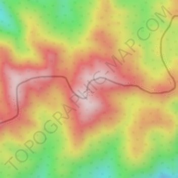
Name: Khao Yai topographic map, elevation, terrain.
Location: Khao Yai, Prachuap Khiri Khan Province, Thailand (11.48005 99.43099 11.48015 99.43109)
Average elevation: 2,326 ft
Minimum elevation: 1,581 ft
Maximum elevation: 2,815 ft
Thank you for supporting this site ❤️
Make a donation
Make a donation
Gear up for your next adventure:
As an Amazon Associate, this site earns from qualifying purchases at no extra cost to you.