Geolocate

Madhuban topographic map

Click on the map to display elevation.

About this map

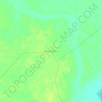
Name: Madhuban topographic map, elevation, terrain.

Location: Madhuban, Mau, Uttar Pradesh, 274404, India (26.14842 83.66362 26.18842 83.70362)

Average elevation: 230 ft

Minimum elevation: 200 ft

Maximum elevation: 249 ft

Gear up for your next adventure:

🛡️Insect Repellent - Protection against bugs during outdoor activities
🎒Hydration Pack - Hands‑free water reservoir for long hikes
🔦Compact Flashlight - Reliable flashlight for emergencies
📦Dry Bags Set - Waterproof storage for electronics and clothes
🌎3D Topographic Globes - Raised relief globes for a tactile understanding of geography

As an Amazon Associate, this site earns from qualifying purchases at no extra cost to you.