
Frederic topographic map
Click on the map to display elevation.
About this map
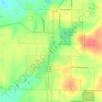
Name: Frederic topographic map, elevation, terrain.
Location: Frederic, Polk County, Wisconsin, United States (45.63750 -92.48149 45.66942 -92.45297)
Average elevation: 1,224 ft
Minimum elevation: 1,115 ft
Maximum elevation: 1,329 ft
Polk County trails, hiking, mountain biking, running and outdoor activities
Other topographic maps
Click on a map to view its topography, its elevation and its terrain.