
San Gabriel topographic map
Click on the map to display elevation.
About this map
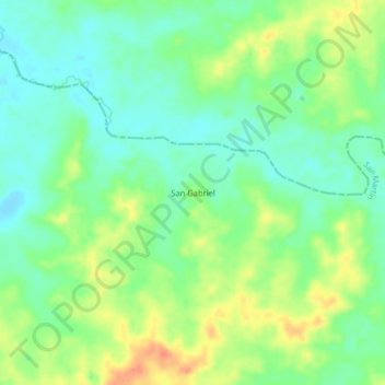
Name: San Gabriel topographic map, elevation, terrain.
Location: San Gabriel, San Martín, Piedemonte, Meta, Colombia (3.65850 -73.08551 3.69850 -73.04551)
Average elevation: 735 ft
Minimum elevation: 673 ft
Maximum elevation: 827 ft