
舊墟村 topographic map
Interactive map
Click on the map to display elevation.
About this map
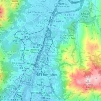
Name: 舊墟村 topographic map, elevation, terrain.
Location: 舊墟村, 屯門區, 新界, 香港, 中国 (22.38020 113.95884 22.42020 113.99884)
Average elevation: 338 ft
Minimum elevation: -10 ft
Maximum elevation: 1,565 ft
Other topographic maps
Click on a map to view its topography, its elevation and its terrain.