Geolocate

Rohilagad topographic map

Interactive map

Click on the map to display elevation.

About this map

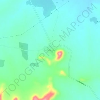
Name: Rohilagad topographic map, elevation, terrain.

Location: Rohilagad, Ambad, Jalna, Maharashtra, India (19.67894 75.64085 19.71894 75.68085)

Average elevation: 1,775 ft

Minimum elevation: 1,680 ft

Maximum elevation: 2,129 ft

Other topographic maps

Click on a map to view its topography, its elevation and its terrain.

Lalwadi

India > Maharashtra > Ambad

Lalwadi, Ambad, Jalna, Maharashtra, 431204, India

Average elevation: 1,640 ft

Badapur

India > Maharashtra > Ambad

Badapur, Ambad, Jalna, Maharashtra, India

Average elevation: 1,627 ft

Narayangaon

India > Maharashtra > Ambad

Narayangaon, Ambad, Jalna, Maharashtra, India

Average elevation: 1,644 ft