
Broadhempston topographic map
Click on the map to display elevation.
About this map
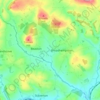
Name: Broadhempston topographic map, elevation, terrain.
Location: Broadhempston, Teignbridge, Devon, England, United Kingdom (50.46211 -3.72751 50.50424 -3.66117)
Average elevation: 190 ft
Minimum elevation: 26 ft
Maximum elevation: 518 ft