
Town of Leola topographic map
Interactive map
Click on the map to display elevation.
About this map
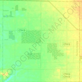
Name: Town of Leola topographic map, elevation, terrain.
Location: Town of Leola, Adams County, Wisconsin, United States (44.15568 -89.71762 44.24747 -89.59768)
Average elevation: 1,047 ft
Minimum elevation: 1,004 ft
Maximum elevation: 1,089 ft
Adams County trails, hiking, mountain biking, running and outdoor activities
Other topographic maps
Click on a map to view its topography, its elevation and its terrain.