Geolocate

Apple Springs topographic map

Click on the map to display elevation.

About this map

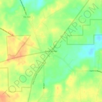
Name: Apple Springs topographic map, elevation, terrain.

Location: Apple Springs, Trinity County, Texas, 75926, United States (31.20352 -94.98632 31.24352 -94.94632)

Average elevation: 266 ft

Minimum elevation: 194 ft

Maximum elevation: 328 ft

Trinity County trails, hiking, mountain biking, running and outdoor activities

Other topographic maps

Click on a map to view its topography, its elevation and its terrain.

Trinity

United States > Texas > Trinity County

Average elevation: 213 ft

Gear up for your next adventure:

🥇GPS Hiking Watch - Multi‑sport GPS watch with navigation and trail tracking
🛌Ultralight Sleeping Bags - Compact down bags for cold nights in the wilderness
🌎3D Topographic Globes - Raised relief globes for a tactile understanding of geography
🛡️Insect Repellent - Protection against bugs during outdoor activities
🔌Solar Panel Charger - Charge gear sustainably outdoors

As an Amazon Associate, this site earns from qualifying purchases at no extra cost to you.