
Thank you for supporting this site ❤️
Make a donation
Make a donation
Gear up for your next adventure:
As an Amazon Associate, this site earns from qualifying purchases at no extra cost to you.
Vernamiège topographic map
Click on the map to display elevation.
Thank you for supporting this site ❤️
Make a donation
Make a donation
Gear up for your next adventure:
As an Amazon Associate, this site earns from qualifying purchases at no extra cost to you.
About this map
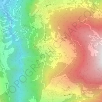
Name: Vernamiège topographic map, elevation, terrain.
Location: Vernamiège, Mont-Noble, Hérens, Valais, 1961, Suisse (46.19097 7.41137 46.23097 7.45137)
Average elevation: 4,147 ft
Minimum elevation: 1,680 ft
Maximum elevation: 6,877 ft
Thank you for supporting this site ❤️
Make a donation
Make a donation
Gear up for your next adventure:
As an Amazon Associate, this site earns from qualifying purchases at no extra cost to you.