
Thank you for supporting this site ❤️
Make a donation
Make a donation
Gear up for your next adventure:
As an Amazon Associate, this site earns from qualifying purchases at no extra cost to you.
Malleswaram topographic map
Click on the map to display elevation.
Thank you for supporting this site ❤️
Make a donation
Make a donation
Gear up for your next adventure:
As an Amazon Associate, this site earns from qualifying purchases at no extra cost to you.
About this map
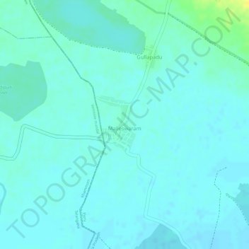
Name: Malleswaram topographic map, elevation, terrain.
Location: Malleswaram, Chintalapudi, Eluru, Andhra Pradesh, India (17.10405 80.87508 17.11137 80.88060)
Average elevation: 443 ft
Minimum elevation: 427 ft
Maximum elevation: 502 ft
Thank you for supporting this site ❤️
Make a donation
Make a donation
Gear up for your next adventure:
As an Amazon Associate, this site earns from qualifying purchases at no extra cost to you.