Geolocate

South Gate Ridge topographic map

Click on the map to display elevation.

About this map

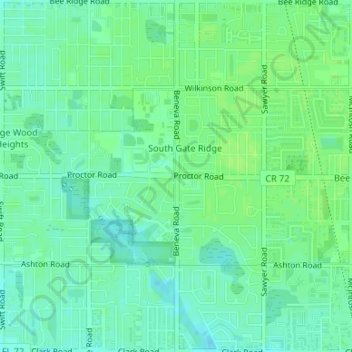
Name: South Gate Ridge topographic map, elevation, terrain.

Location: South Gate Ridge, Sarasota County, Florida, United States (27.26924 -82.50673 27.29881 -82.48927)

Average elevation: 39 ft

Minimum elevation: 20 ft

Maximum elevation: 52 ft

Sarasota County trails, hiking, mountain biking, running and outdoor activities

Gear up for your next adventure:

🛠️Outdoor Gear Repair Kit - Essential tools to fix gear on the trail
🧭Outdoor Navigation Book - Learn advanced navigation skills
📱Solar Portable Charger - Solar power bank for charging devices off‑grid
🥄Camping Utensil Set - Lightweight utensils for outdoor meals
👟Trail Running Shoes - Lightweight shoes for trail runners

As an Amazon Associate, this site earns from qualifying purchases at no extra cost to you.