Geolocate

Doña Imelda topographic map

Click on the map to display elevation.

About this map

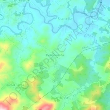
Name: Doña Imelda topographic map, elevation, terrain.

Location: Doña Imelda, Diffun, Quirino, Cagayan Valley, Philippines (16.49325 121.45697 16.53325 121.49697)

Average elevation: 666 ft

Minimum elevation: 420 ft

Maximum elevation: 1,463 ft

Gear up for your next adventure:

🪶Survival Guide Book - Expert advice for emergency preparedness
🎒Gear Packing Cubes - Organize your backpack efficiently
🚪Portable Camp Chair - Foldable chair for comfort at camp
🛡️Insect Repellent - Protection against bugs during outdoor activities
🥘Titanium Cookware - Durable, featherlight pots and pans for backpacking

As an Amazon Associate, this site earns from qualifying purchases at no extra cost to you.