Geolocate

Castricum aan Zee topographic map

Interactive map

Click on the map to display elevation.

About this map

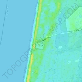
Name: Castricum aan Zee topographic map, elevation, terrain.

Location: Castricum aan Zee, Castricum, Noord-Holland, Nederland, 1901, Nederland (52.54748 4.60120 52.56748 4.62120)

Average elevation: 13 ft

Minimum elevation: 0 ft

Maximum elevation: 69 ft

Other topographic maps

Click on a map to view its topography, its elevation and its terrain.

Akersloot

Nederland > Noord-Holland > Castricum

Akersloot, Castricum, Noord-Holland, Nederland

Average elevation: -3 ft

Limmen

Nederland > Noord-Holland > Castricum > Limmen

Limmen, Castricum, Noord-Holland, Nederland

Average elevation: 3 ft

Klein Dorregeest

Nederland > Noord-Holland > Castricum > Akersloot > Klein Dorregeest

Klein Dorregeest, Akersloot, Castricum, Noord-Holland, Nederland, 1921 HA, Nederland

Average elevation: -3 ft

Castricum

Nederland > Noord-Holland > Castricum

Castricum, Noord-Holland, Nederland

Average elevation: 10 ft